Fountain Hills Concierge Medicine
&
Mobile Primary Care
Concierge Mobile Primary Care in Fountain Hills, AZ
Bringing Personalized Family Healthcare to Your Home
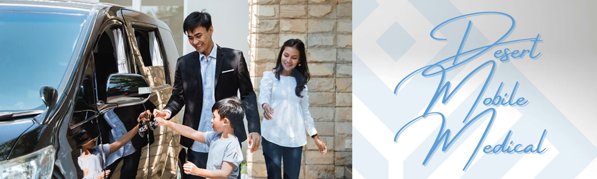
Tucked between desert hills and scenic views, Fountain Hills is a place where families embrace space, beauty, and balance. At Desert Mobile Medical, we make it easier for families here to access exceptional healthcare—without leaving home.
Our unique model blends mobile primary care with the comfort and attention of concierge medicine, offering a healthcare experience that’s personalized, flexible, and designed around the pace of your life.
Fountain Hills Concierge Medicine at it’s Finest With Desert Mobile Medical!
Family-Focused Mobile Primary Care
Whether it’s a checkup before school, a sudden fever at bedtime, or ongoing care for a chronic condition, our mobile primary care service delivers doctor visits directly to your home.
Our board-certified physicians provide:
-
Pediatric and adult wellness exams
-
Sick visits for children and adults
-
Chronic condition management
-
Preventive screenings
-
Medication management
-
Sports and school physicals
No commutes. No crowded waiting rooms. Just care where it counts—right at home.
Concierge Medicine, Reimagined for Families
Our concierge membership gives your family access to personalized home and virtual visits with your dedicated physician. No more long waits or rushed appointments. Instead, you receive:
-
Flexible, personalized in-home and virtual appointments
-
Same-day or next-day scheduling
-
Direct communication with your physician via phone, text, or email
-
Mobile labs, imaging, and medications—arranged for your convenience
-
Thoughtful, relationship-based care for every member of your household
This is healthcare that adjusts to your family—not the other way around.
Now Serving Fountain Hills Families
We proudly provide concierge mobile primary care across all Fountain Hills neighborhoods, including:
-
Eagle Mountain
-
Sunridge Canyon
-
Fountain Hills Town Center
-
Firerock
-
Crystal Ridge
-
North Heights
-
Shadow Canyon
-
The Overlook
-
And other surrounding areas in the Verdes and Rio Verde Foothills
Whether you’re near the Fountain Park or nestled in the McDowell foothills, we bring care to your door.
Why Fountain Hills Families Choose Desert Mobile Medical
-
Convenience for busy parents and professionals
-
In-home care that minimizes disruptions for kids and elderly family members
-
Coordinated care for every generation
-
Personalized visits—never rushed, always compassionate
-
Perfect for families who value privacy, comfort, and quality medical attention
We make it easier to care for your children, spouse, and aging parents—without the stress of clinic visits.
Do We Still Need Insurance?
Yes. While we don’t bill insurance, we strongly recommend keeping a major medical or high-deductible health plan for hospitalizations, specialty care, and emergencies. We’re happy to refer you to experienced advisors who can help tailor a plan that complements our concierge services.
Your Family’s Health, Handled at Home
In Fountain Hills, life moves at a different rhythm—so should your healthcare. With Desert Mobile Medical, your family can access high-quality, compassionate care in the comfort of your home, on your schedule.
fountain hills concierge, homehealthcarefountainhillsaz, mobile primary care in scottsdale, mobile medical doctor scottsdale, mobile primary care scottsdale, concierge primary care physician near me, phoenix mobile primary care, concierge urgent care, mobile medical doctor, phoenix mobile concierge medicine, medication management fountain hills az, mobile doctor scottsdale, mobile physician in phoenix, scottsdale mobile primary care, mobile doctor phoenix
Comprehensive Mobile Healthcare Services
Desert Mobile Medical offers a wide range of mobile healthcare services tailored to meet the diverse needs of families in Fountain Hills. From preventive care to chronic disease management, our services are designed to ensure that every member of your household receives the attention they deserve without the hassle of traveling to a clinic.
Our mobile healthcare options include wellness exams, vaccinations, lab tests, and medication management, all provided in the comfort of your home. This holistic approach not only enhances convenience but also fosters a trusting relationship between patients and healthcare providers, ensuring a better overall experience with Desert Mobile Medical.
Benefits of Concierge Medicine for Families
Concierge medicine redefines the patient experience by providing personalized and accessible healthcare solutions. Families benefit from extended appointment times, allowing for thorough discussions about health concerns, which is often lacking in traditional healthcare settings.
This model prioritizes patient needs, offering flexible scheduling, direct access to physicians, and comprehensive care management. Families can enjoy peace of mind knowing that their healthcare is tailored specifically to their unique circumstances, making Desert Mobile Medical a preferred choice for many in Fountain Hills.
Flexible Scheduling and Availability
Understanding the busy lives of families, Desert Mobile Medical provides flexible scheduling options that cater to the needs of parents and caregivers. Whether it’s a last-minute appointment for a sick child or routine check-ups, our team is committed to making healthcare accessible and convenient.
With same-day and next-day appointments available, families can receive timely medical attention without the stress of long wait times or rigid office hours. Our goal is to ensure that healthcare fits seamlessly into your lifestyle, allowing you to focus on what truly matters—your family.
Patient-Centered Care Philosophy
At Desert Mobile Medical, we believe that healthcare should revolve around the patient. Our patient-centered care philosophy emphasizes building strong relationships between healthcare providers and families, ensuring that every visit is tailored to individual needs and preferences.
This approach not only enhances the quality of care but also empowers families to take an active role in their health decisions. By fostering open communication and trust, we strive to create a supportive environment where patients feel valued and heard, making Desert Mobile Medical a standout choice for healthcare in Fountain Hills.